Ca Mau
The inland area of
Vietnam looks similar to an S shape, the bottom area of
the country is the
Mekong Delta and the southernmost area of the Mekong
Delta is
Ca Mau. This is where the inland of Vietnam protrudes into the East
Vietnam Sea of which the tip is Cape Ca Mau. Cape Ca Mau is where you can
observe both sunrise and sunset on the sea.
Ca Mau Province is bordered to the north by Kien Giang Province, to the east
by Bac Lieu Province; to the south by the East Vietnam Sea; to the west by
the Rach Gia Gulf. Ca Mau has 145km of coastline to the Rach Gia Gulf and
104km to the East Vietnam Sea.
The land of Ca Mau is basically flat with the terrain slightly goes down
from the north and north-east to the south and south-west. The average
altitude of Ca Mau is about 0.5-1.5m above sea level with many areas
permanently under water which are marshland mostly covered with cajeput and
mangrove forests and which are home to rich underwater species. There is a
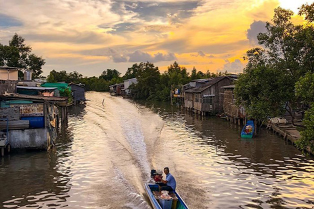
maze of rivers, creeks and arroyos which crisscross the land making it
favorable for transport by waterway.
There are several rivers and several estuaries at Ca Mau. The big rivers are
Cua Lon, Ganh Hao, Bay Hap, Ong Doc and Trem Trem. The climate at Ca Mau is
monsoon tropic with 2 seasons per year: rainy season May-October
(south-westerly winds) and dry season November-April (north-easterly winds).
The temperate ranges from 24-29oC.


